KEY ANNOUNCEMENTS
TAKE OUR SURVEY!
The following 10 minute survey is to help provide the framework for the development of Mayo River State Park. Open now until January 16th. Thank you for your time and input!

Mayo River State Park Master Plan
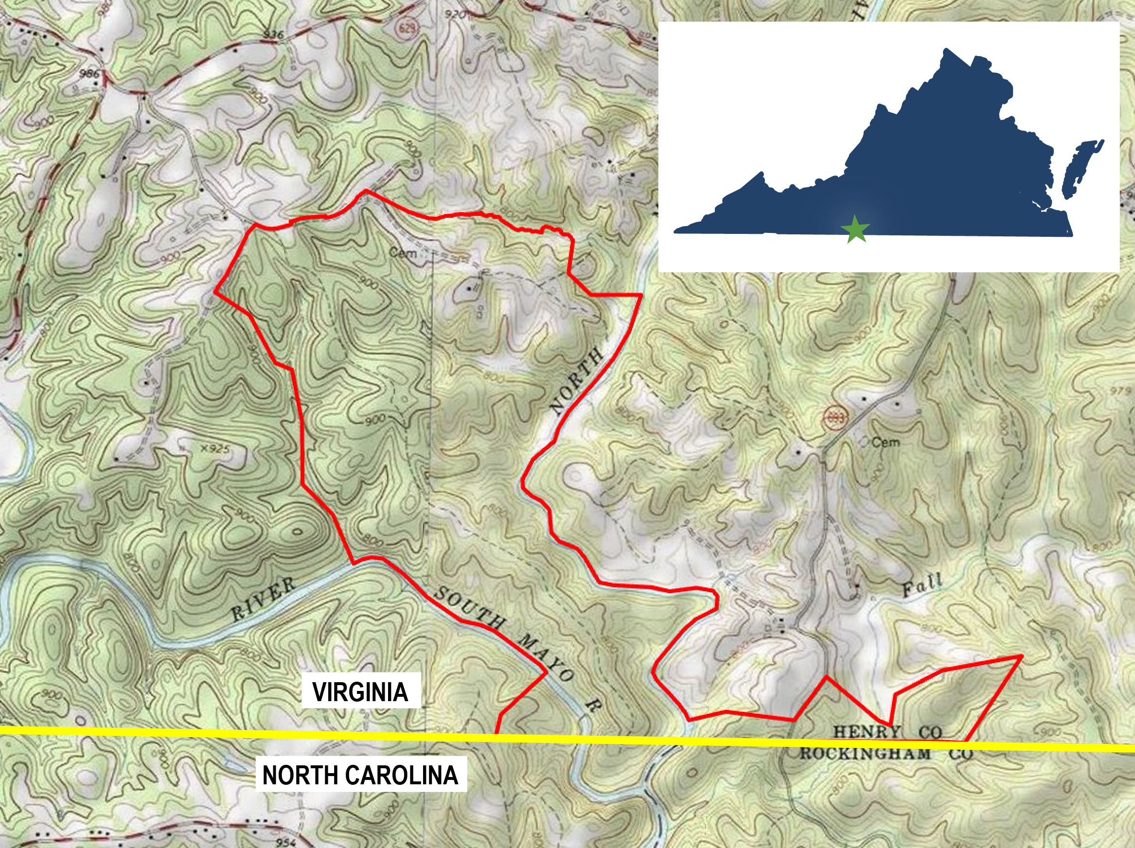
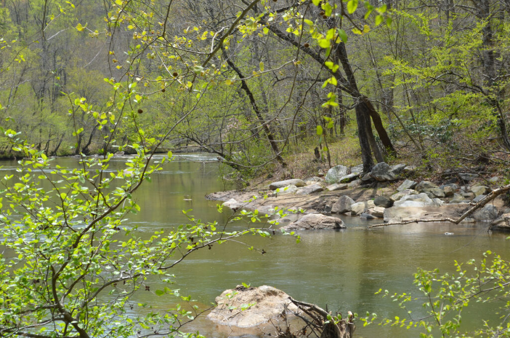
Mayo River State Park is a newly-acquired Virginia State Park in southwestern Henry County along the Virginia-North Carolina border. The commonwealth has acquired a total of 637 acres of land between the North Mayo River and the South Mayo River, converging just south of the state line in North Carolina. The Virginia State Park will complement the North Carolina Mayo River State Park, which continues 16 miles further downstream.
In accordance with the Code of Virginia, the Virginia Department of Conservation and Recreation is directing the preparation of a master plan for this new state park. The purpose of this master plan is to guide the management and development of the park by identifying natural, cultural, and physical resources, as well as to identify park needs and engage with the public.
Key facts about Mayo River State Park:
- Located in Henry County, Virginia.
- The site is 634 acres.
- The highest elevation in the park is 965’; the lowest elevation is 710’.
- The southern edge of the site is on the Virginia/North Carolina line.
- The park is at the confluence of the North and South Mayo Rivers.
- In 2008, a 7.1-mile portion of the North Mayo River between Route 695 and the state border, and the 6.9 miles of the South Mayo River from the Patrick County line to the state border were both designated as Virginia Scenic Rivers.
- The park shares a border with North Carolina’s Mayo River State Park.
- The park land purchases were between 2009 and 2021.
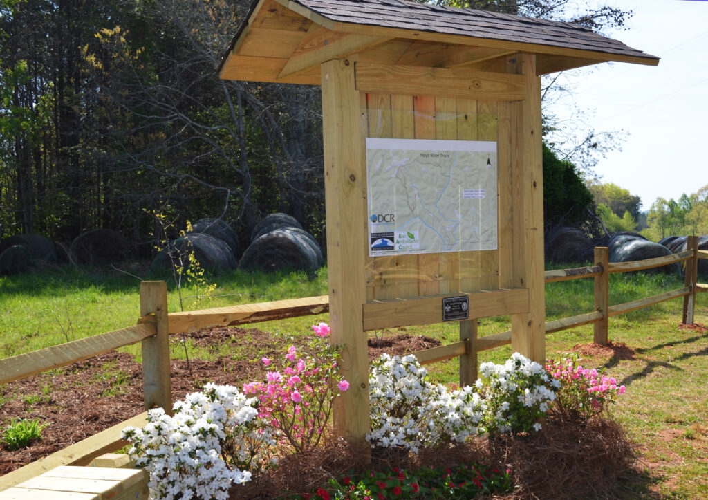
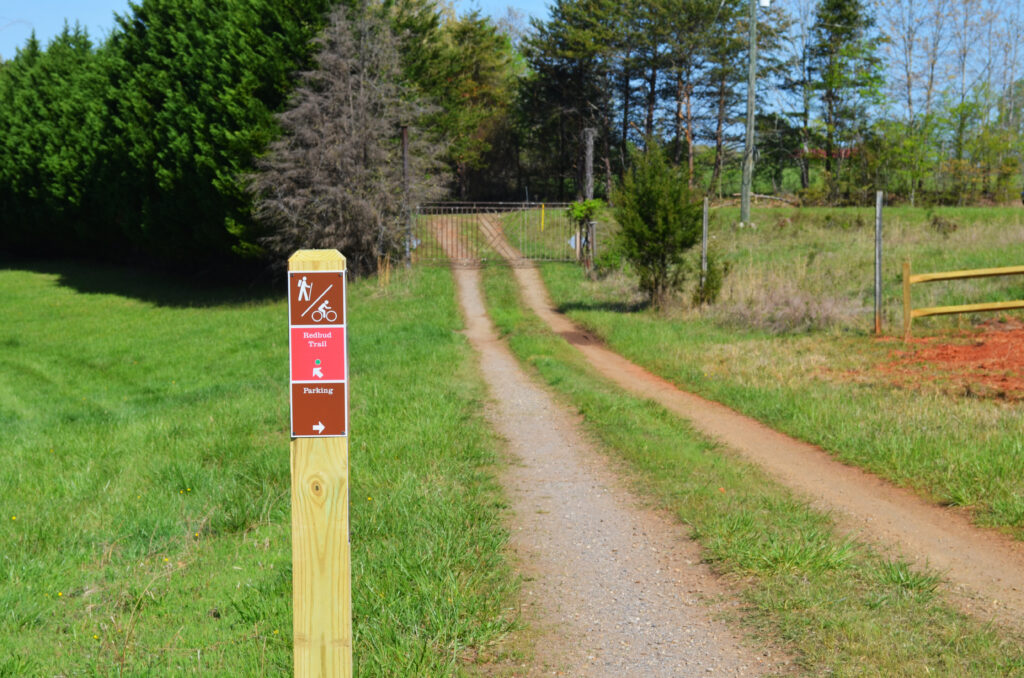
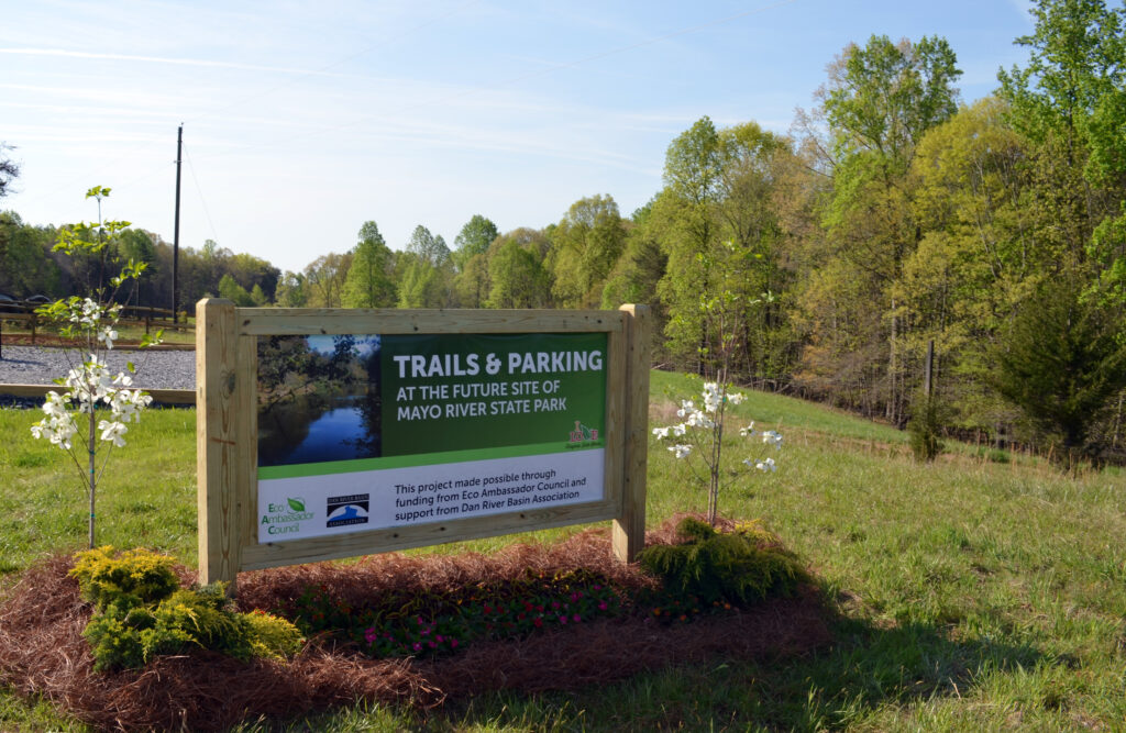
- A trail system was dedicated on site on Earth Day, April 22, 2022.
- The Mayo River is named after the surveyor William Mayo, who was a member of William Byrd’s team who surveyed the VA-NC border in the early 1700s.
- The land was the home of the Sappony Native American tribes, with village sites dating back to 1000-1450.

